Le laboratoire
Le Laboratoire des Sciences du Climat et de l’Environnement (LSCE) est une unité mixte de recherche (UMR 8212) du Commissariat à l’Énergie Atomique et aux énergies alternatives (CEA), du Centre National de la Recherche Scientifique (CNRS) et de l’Université de Versailles Saint-Quentin en Yvelines (UVSQ), localisée sur le site CEA de l’Orme des Merisiers au cœur du campus de l’université Paris-Saclay. Il fait partie de l’Institut Pierre-Simon Laplace (IPSL).
Organisation
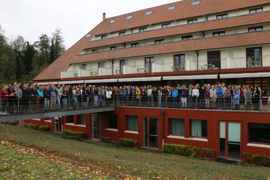
Le LSCE regroupe plus de 350 chercheurs, ingénieurs, techniciens et personnels administratifs dont plus de 150 personnels permanents issus des 3 tutelles et plusieurs dizaines de doctorants.
Le laboratoire est dirigé par une équipe de direction ainsi constituée :
- Directeur : Philippe Bousquet (UVSQ)
- Directeurs adjoints : François-Marie Bréon (CEA) / Didier Roche (CNRS) / Valérie Daux (UVSQ)
- Assistante de direction : Sandrine Manghi (CEA)
- Responsable du groupe administratif : Maud Grenet (CNRS)
Le LSCE est organisé en trois thèmes scientifiques. Ils sont composés chacun de 4 à 6 équipes, pour un total de 16 équipes scientifiques. L’instrument national ARTEMIS (LMC14) dédié à la mesure du carbone 14 est également rattaché au LSCE.
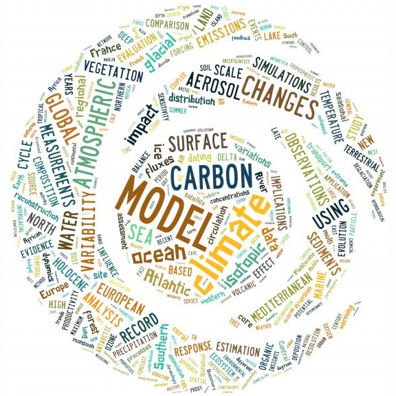
Thèmes de recherche
Le LSCE est structuré en trois thèmes :
- Archives et Traceurs
- Cycles biogéochimiques et Transferts dans l’Environnement
- Climat et Cycles – Modélisation de leurs variabilités et de leurs interactions
Et de l’instrument national ARTEMIS de mesure du carbone 14.
Équipes
Les activités scientifiques menées au LSCE s’appuient sur un ensemble d’équipes, 16 au total, auxquelles s’ajoute le LMC14, l’instrument national ARTEMIS de mesure du carbone 14.
Le LSCE est également composé d’équipes support :
- Administration, gestion financière, ressources humaines
- Informatique
- Sécurité, Infrastructure, Environnement
- Communication
Projets structurants
Les travaux de recherche du LSCE sont en partis conduits autour de grands objets fédérateurs à l’échelle nationale, européenne ou internationale.


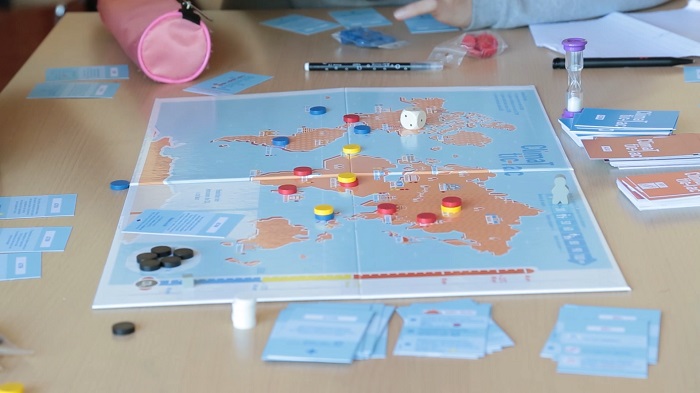
Ressources grand public
Que ce soit des jeux, des expositions itinérantes, ou tout autre contenu, le LSCE vous propose de découvrir ses nombreuses ressources pédagogiques axées sur les thématiques du climat et de l’environnement.
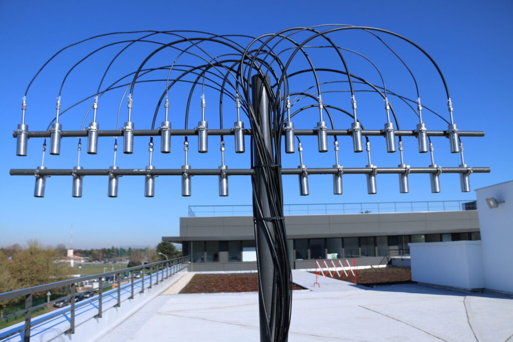
Données en temps réel
Grâce à ses différents instruments de mesure et observatoires sur site, le LSCE peut suivre en temps réel le niveau de différents paramètres chimiques, physiques, comme les particules fines dans l’air, les gaz à effet de serre, les gaz réactifs, les simulations de modèles (en temps quasi réel).
Le LSCE responsable
Le LSCE est attentif à son empreinte environnementale et notamment son bilan carbone. Il est engagé dans une démarche de réduction de ses émissions de gaz à effet de serre et de réflexion sur une recherche de qualité et bas carbone pour ses différents axes de recherche et de fonctionnement interne. Le Groupe de Travail Empreinte Ecologique (GT-EE) anime des activités dans cet objectif.