
Why does it matter?
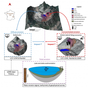
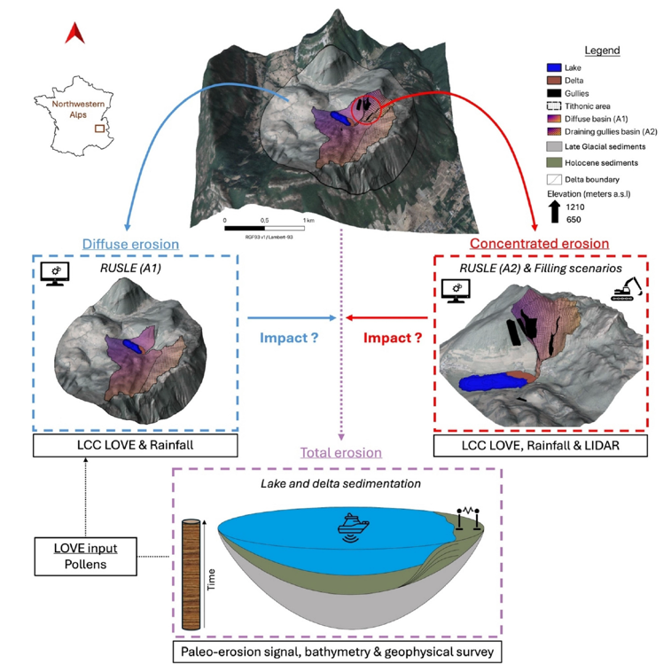
Soil erosion in mountain environments threatens ecosystems, water quality, and carbon storage. Yet, most erosion models primarily account for diffuse erosion and often underestimate the role of gullies. By combining erosion modelling, sedimentary archives, remote sensing, and geophysical surveys, this study shows that concentrated erosion can account for up to 46% of total soil exports over the Holocene. These findings will help improve erosion models and provide more reliable estimates of sediment and carbon fluxes.
Our contribution
We contributed to defining the chronological constraints used to evaluate the modelling scenarios by bringing our expertise in radiocarbon dating and carbon dynamics. This expertise helped constrain the depositional chronology and assess the consistency of the erosion and sedimentation scenarios.
Key findings
🕳️ 46% of total soil exports can be attributed to gully erosion
⛰️ 11 000 years of erosion history reconstructed in an Alpine catchment
🛰️ 4 complementary approaches: modelling, sedimentary archives, LiDAR and geophysics
📈 1 new framework for better representing soil erosion in mountain environments
Reference: Mazure T., […] Hatté C., […] (2026) Disentangling diffuse vs. concentrated erosion in a montane belt context over the Holocene: combining erosion models, sediment proxies, and remote sensing (La Thuile, northwestern Alps). Catena, 110450, doi: 10.1016/j.catena.2026.110450.