Le projet
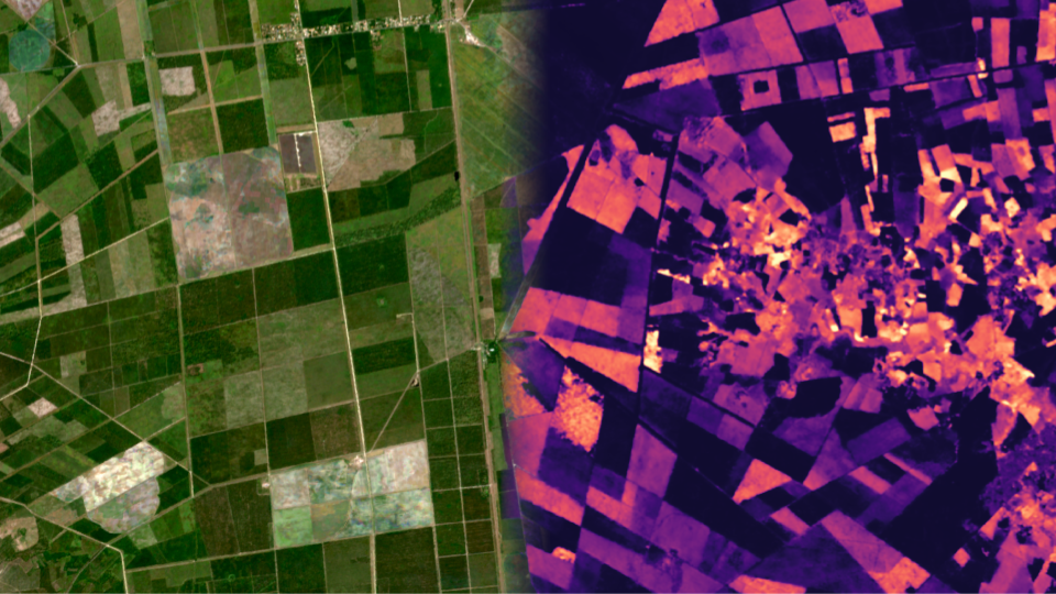
La gestion et la conservation des écosystèmes forestiers en Europe et dans le monde est un élément indispensable des stratégies d’adaptation au changement climatique et d’atténuation de ses effets. Des informations précises et actualisées sur la santé des forêts et le bilan carbone sont donc essentielles pour évaluer l’état actuel des forêts, déclencher des contre-mesures appropriées contre la perte de forêts et développer de meilleures stratégies de gestion. Les progrès réalisés dans le domaine de l’observation de la Terre et de l’intelligence artificielle ont ouvert la voie à l’automatisation de la surveillance des forêts à l’aide de séries chronologiques de données satellitaires, y compris des mesures optiques, radar et LiDAR. Cependant, les cartes forestières produites par les approches actuelles sont encore souvent limitées à des résolutions grossières et/ou à des zones spatiales relativement petites. Pour surmonter ces limites, le projet AI4Forest rassemble des experts en intelligence artificielle, en mathématiques appliquées, en informatique, en télédétection spatiale et en changement climatique. AI4Forest s’efforce de développer des méthodes d’intelligence artificielle innovantes pour la surveillance des forêts, ainsi que des méthodes d’intelligence artificielle évolutives pour traiter de manière efficace et rentable de grandes quantités de données. Les techniques qui en résulteront faciliteront la production de cartes détaillées des principales variables forestières mondiales à très haute résolution spatiale et temporelle pour l’ensemble du continent européen et du monde, y compris l’identification des espèces d’arbres, de la mortalité et des pertes et gains de carbone jusqu’au niveau des arbres individuels.Intelligence artificielle pour la surveillance des forêts depuis l’espace (AI4Forests)